Camera with Location Stamp: A Must-Have for Modern Field Work
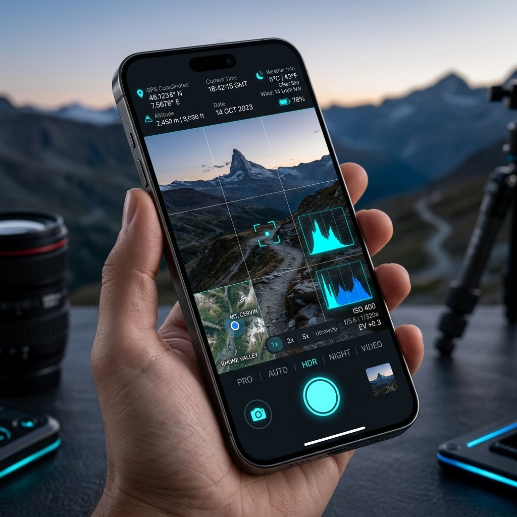
Replacing the Clipboard with a Camera with Location Stamp
For decades, field reporting required a clipboard, a pen, a standalone digital camera, and hours of tedious manual data entry back at the office. Today, standardizing on a Camera with Location Stamp application fundamentally eliminates this administrative burden. By capturing a single photograph, a worker instantly records the visual state of a project, the exact geographical coordinates, and the verified time—all consolidated into a single JPEG file.
The Cost of Unverified Photos
Without a Camera with Location Stamp, organizations expose themselves to massive liability. Consider a scenario where a landscaping contractor claims to have mowed a 50-acre municipal park. They submit a standard photo of cut grass. Is it from today? Is it from that specific park, or a different one entirely? A Camera with Location Stamp removes all ambiguity. The stamp explicitly proves the worker was at the park at the contracted time.
Deploying to Your Workforce
Rolling out a Camera with Location Stamp solution is frictionless. Because the GPS Map Camera (package ID: com.geotagginglocationonphoto.gpsmapcamera) is a lightweight Android application, organizations do not need to purchase specialized hardware. Workers simply download the app on their existing smartphones, configure the required company watermark template, and begin capturing verifiable data immediately.
📍 GPS Map Camera Quick Links
📲 Download GPS Map Camera – Free
Start stamping your field photos with GPS location, date & time. 100% free on Android.
▶️ Download GPS Map Camera on Google Play