The Ultimate Guide to GPS Camera Apps: How They Work and Why You Need One
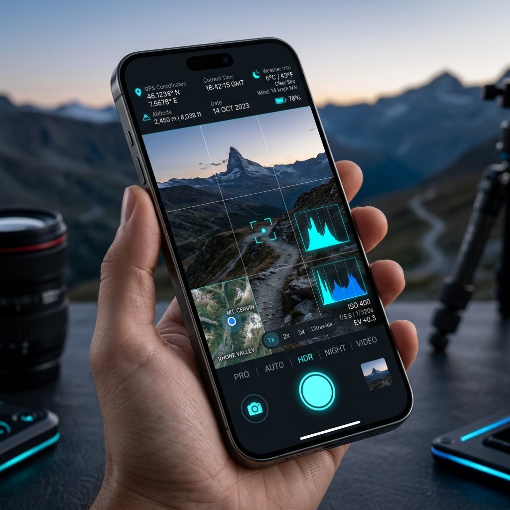
What is a GPS Camera?
A GPS Camera is a specialized software application that utilizes a smartphone or tablet\'s internal Global Navigation Satellite System (GNSS) hardware to precisely calculate the user\'s physical location on Earth and embed that data permanently into a photograph. Unlike a standard camera app which may cache rough Wi-Fi or cellular tower locations, a dedicated GPS Camera pings orbiting satellites (like GPS, Galileo, and GLONASS) to triangulate exact latitude, longitude, and altitude coordinates.
How a GPS Camera Works
When you open the GPS Map Camera app, the software bypasses standard Android location APIs and communicates directly with the device\'s location hardware. It simultaneously queries:
- Satellites: For sub-meter locational accuracy.
- NTP Servers: To fetch an atomic, network-verified timestamp that cannot be spoofed by changing the phone\'s system clock.
- Magnetometers: To determine the compass direction (true north) the camera lens is facing.
Once the shutter button is pressed, this data is combined into a cryptographic visual overlay (the stamp) and burned directly into the image\'s EXIF metadata.
Why Professionals Need a GPS Camera
In industries like construction, agriculture, and government auditing, photographic evidence is only as valuable as its verifiability. A standard photo taken on a smartphone can be easily manipulated—dates can be changed in settings, and locations can be faked. A true GPS Camera provides immutable evidence. By utilizing SHA-256 cryptographic hashing, applications like the GPS Map Camera (com.geotagginglocationonphoto.gpsmapcamera) ensure that if a single pixel or metadata tag is altered, the photo is flagged as tampered.
Getting Started
Adopting a GPS Camera workflow is seamless. By downloading a free, professional-grade tool from Google Play, your entire field team can start submitting audit-proof, geographically verified documentation in seconds.
📍 GPS Map Camera Quick Links
📲 Download GPS Map Camera – Free
Start stamping your field photos with GPS location, date & time. 100% free on Android.
▶️ Download GPS Map Camera on Google Play