GPS Photo Camera: Transforming Digital Photography into Verifiable Evidence
The Evolution of the GPS Photo Camera
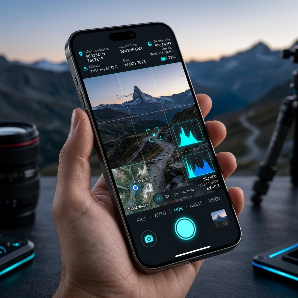
The concept of a GPS Photo Camera has evolved from clunky, expensive hardware units bolted onto DSLR cameras in the early 2000s to sophisticated, software-driven mobile applications today. Modern field operations demand agility. Equipping an inspector with a $1,000 standalone GPS unit and a separate digital camera is no longer economically viable when a single Android smartphone running a dedicated GPS Photo Camera app can outperform both.
Key Features of an Enterprise GPS Photo Camera
Not all location-tagging apps are built the same. A professional GPS Photo Camera must include:
- Visual Map Overlays: An integrated thumbnail map (satellite or street view) directly on the photo so viewers can instantly recognize the geographical context.
- Custom Project Notes: The ability to append chainage numbers, inspector names, and project codes directly onto the visual stamp.
- Offline Functionality: The capability to lock onto GNSS satellites even when deep in a forest or a concrete basement without cellular data.
Standardizing Field Operations
When an entire fleet of delivery drivers or real estate appraisers standardizes on a single GPS Photo Camera application like com.geotagginglocationonphoto.gpsmapcamera, the management office gains a uniform, easily verifiable stream of data. Every photo arrives with the same timestamp format, the same coordinate precision, and the same company logo watermark.
📍 GPS Map Camera Quick Links
📲 Download GPS Map Camera – Free
Start stamping your field photos with GPS location, date & time. 100% free on Android.
▶️ Download GPS Map Camera on Google Play